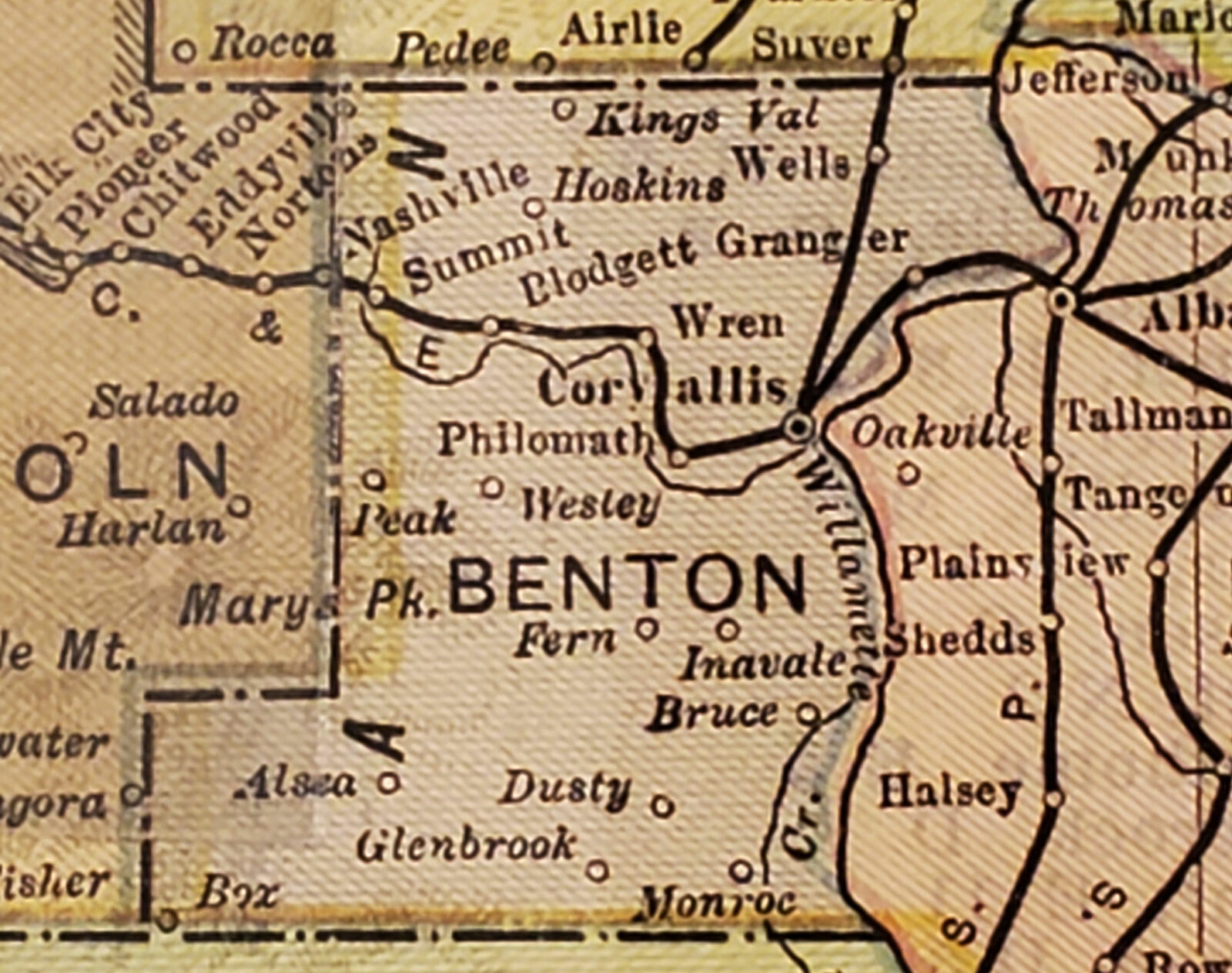
The three towns (Bruce, Dusty, and Fern) that were the subject of the previous story were not the only ones which the 1902 map showed but which do not appear today.
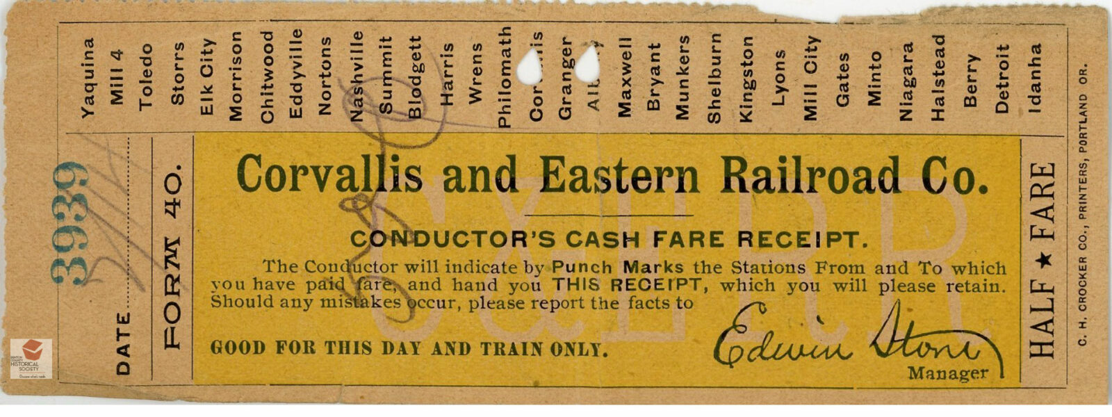
Another such town is Granger which, as this ticket shows, was located along the Oregon Pacific Railroad between Corvallis and Albany. The railroad began operating trains along this route in 1887. The Granger post office opened a year later but closed in 1903. The Granger name lives on in the form of Granger Avenue which runs east from Highway 99W to Highway 20 in front of Mountain View School. (To the west of Highway 99W, the road is known as Lewisburg Road.)
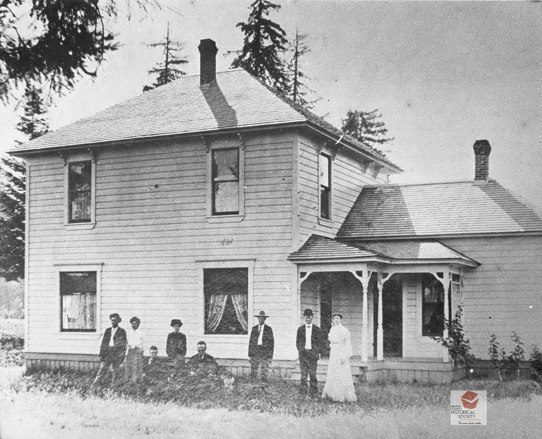
In the early 1900s, the area was agricultural with the depot handling shipments of prunes and other fruits. The Schmidt-McHenry family lived in this house in Granger in 1905. Today, the general area of Granger is associated with the site of Garland’s Nursery.
Another vanished town in the northern portion of the county is Wells, also known as Wellsdale. The town was located along the railroad tracks east of Coffin Butte. According to Lewis McArthur’s Oregon Geographic Names the town was named for “Red” Wells who had a donation land claim in the area. The Wells post office opened in February 1880.
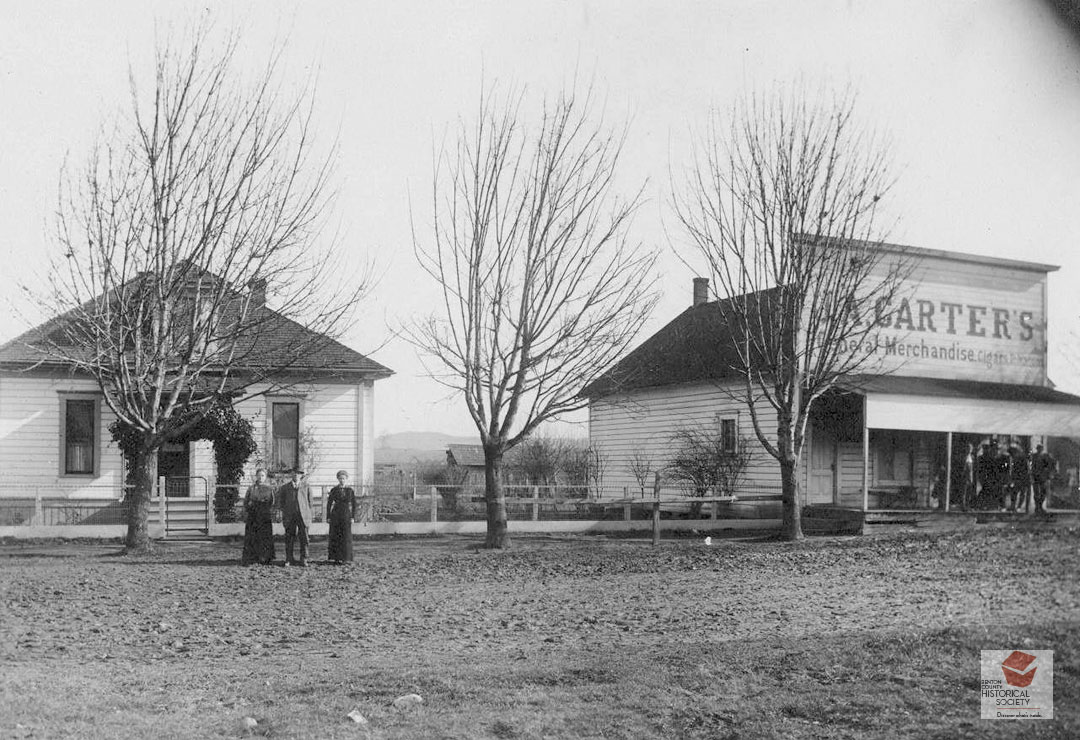
The photograph shows Wells in the early 1900s, with a house on the left and the J. A. Carter general store on the right. When the railroad began servicing the area, it called the depot Wellsdale to avoid confusion with another “Wells.”
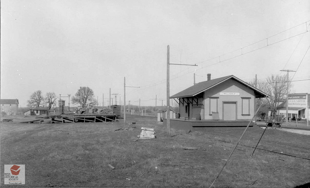
In July 1941 the U. S. War Department chose a 56,800 acre site that was 6 miles wide by 10 miles long, located 8 miles north of Corvallis along Highway 99W for an army training camp. The town of Wells was in the middle of the area and its school, church, businesses and homes had to be demolished in order for the camp to be built. Between 800 and 1000 families were forced to move. Farms, some of which had been in the families since the 1800s, were acquired at prices set by the federal Land Bank. The government acted quickly (the school was closed with one day’s notice) so those who rented the land were evicted before they could harvest their crop, losing all the time and money they’d invested. Bodies were removed from more than 10 cemeteries. Within six months facilities for 40,000 soldiers had been constructed and named Camp Adair. The town of Wells had disappeared forever, although the depot for Wellsdale continued to operate during the war. Later, part of this site became the city of Adair.
The third and final vanished “town” is that of Box, located at southwest edge of the county in an area known as Lobster Valley. In Oregon Geographic Names, Lewis McArthur repeats a story told to him by John Davis of the Oregon Department of Agriculture, who got it from a former postmaster. “Before the post office was established a big box was placed beside the road and when any of the neighbors went to or from Alsea, the nearest post office, they carried the mail for all in Lobster Valley. Mail for those in the valley was placed in this box from which it found its way into the various homes. None of the names submitted for the post office was acceptable to the department and it occurred to someone to call it Box.” The Box post office opened in 1897 but closed sometime between 1906 and 1913.